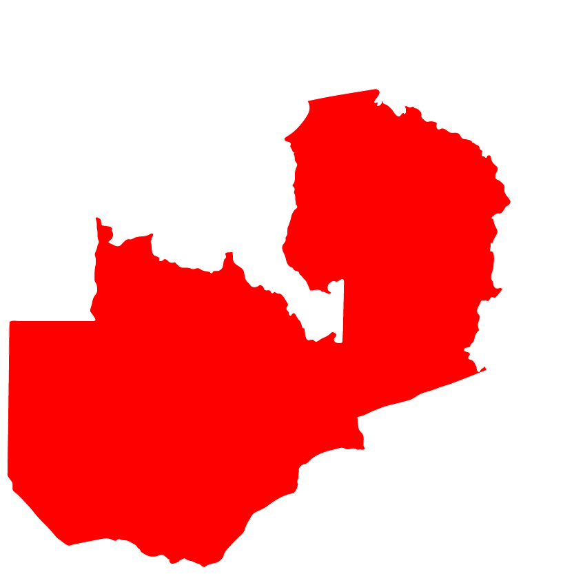
Chama district one of the newly created districts and is divided into Chama North and South. Chama in Zambia is experiencing flooding of Kamphemba river resulting in destruction of hectares of crop fields and has so far destroyed 154 houses. Flooding is due to heavy down pour of rain that affected the area in a week, causing the area to experience severe flooding when Kamphemba river and other streams across the District burst their banks, destroying crops; washing away Kemphemba bridge. As a result, 1,748 families (Chama 901; Petuke 847) are left homeless. In addition to floods, communities in Chikwa and Chifunda in Chama district, are also seriously affected by human wildlife conflict.
In Chama District, At least 491 HH are affected and 377 community members have been evacuated and are staying in schools, churches and camps. The government has established 3 Camps (Camp 1: Is hosting 402 affected HHs, Camp 2 (Kapala Konje), Is hosting 192 affected HH and Camp 3 (Katangalikala); Is hosting 201 affected HH hosted in Churches and Schools around Katangalikal. In Petauke District Sandwe, at least 847 households (45 villages) and at least 409 households in Chibale. All 28 villages are affected by floods with 409 houses are heavily soaked and with 40 structures cracking and at risk of collapsing.
The ACT Zambia Forum is planning on submitting a funding proposal to provide shelter, WASH, food, psycho-social support, and livelihood restoration to ensure that the floods affected persons’ basic needs are met.
Alerts_ Floods Emergency_ Zambia
Madagascar: Tropical Cyclone Eliakim
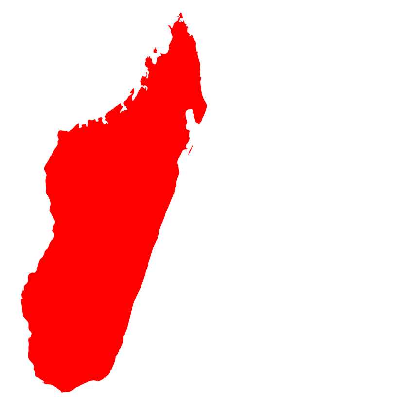
On the morning of Friday the 16 March 2018, the district of Mananara Nord and Maroantsetra in the peninsula of Masoala, Region of Analanjirofo, Madagascar, was affected by Eliakim, a tropical cyclone in category storm. Eliakim brought with him a maximum wind speed of 105 km. The cyclone has put Manara district in a state of crisis. The cyclone affected persons find themselves in a desperate situation, with many unmet vital humanitarian needs such as access to food, shelter, health, water, livelihood and protection services.
Eliakim has come with heavy rains, causing strong floods in the eastern part of Madagascar mainly in the Regions of Sava, Sofia, Analanjirofo, Atsinanana, Alaotra Mangoro where most of the damage is expected. As a result, communities in affected regions have been hit by three storms namely Ava, Dilemma and Eliakim and has made communities more vulnerable every time a storm hits making their conduction worse.
The ACT Madagascar Forum is planning on submitting a funding proposal to provide food, NFI and protection to ensure that the cyclone-affected persons’ basic needs are met with regards to WASH, health and livelihoods.
Alerts_ Madagascar_ Tropical Cyclone Eliakim
Ethiopia: Drought Emergency
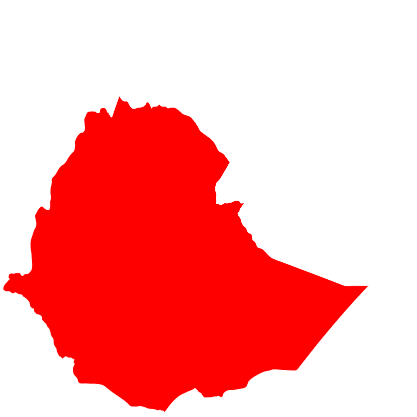
Ethiopia is currently facing a complex humanitarian crisis as result of an ongoing drought combined with an ethno-political conflict. The current drought is an extension of last year’s (2017) drought which severely affected pastoral lowlands of Afar, Somali and Oromia. Over the past four decades, recurrent droughts have been affecting Ethiopia each time with increasing intensity and frequency. The current dire drought-related situation is further compounded by the ethno-political conflict in various parts of the country, namely along areas bordering two of the largest regional states of Oromia and Somali.
The government of Ethiopia has declared a state of emergency on March 2, 2018 for the next six months. The ethno-political conflict has caused large-scale displacement and has further exacerbating the already critical situation resulting from the drought. Affected communities have been forced to flee their homes with nothing more than few personal belongings and living in precarious conditions inside makeshift camps.
ACT Ethiopia Forum members are planning to respond, by providing life-saving responses in Nutrition, WASH and emergency Non-Food Items to reach 250,000 affected persons in the coming months.
Alerts_Ethiopia_Drought Emergency.
Tonga: Tropical Cyclone Gita

During the night of Monday the 12 February 2018, the capital of Nuku’alofa in Tonga, was hit by Category 4 Tropical Cyclone Gita passing directly over the main island, with strong wind speeds of 230 km/hour and wind gusts of 278 km/hour devastating the country’s most populated island group. Tongatapu, which includes Tongatapu island (home of the capital), as well as ‘Eua island to the southeast, were battered by the worst cyclone to hit Tonga in 60 years. TC Gita had damaged parts of neighbour Samoa before entering Tonga, where its ongoing destructive effects include heavy rain, widespread flooding, risk of disease and mass displacement. Parliament House was totally destroyed by TC Gita. Debris, uprooted trees, and no electricity or fuel means many outlying areas and islands have not had contact made, or undergone preliminary rapid assessments. Although there have been no reported deaths, many communities remain unaccounted for at time of publication of this alert.
The cyclone has put the region in a state of crisis. The cyclone affected persons find themselves in a desperate situation, with many unmet vital humanitarian needs such as access to: mosquito nets to prevent further spread of dengue fever, an outbreak of which is currently being experienced in the capital. Primary needs include: sufficient food, safe shelter and basic non-food items, basic health services and facilities, safe drinking water, sanitation and hygiene infrastructure, livelihood activities, protection activities, and adequate nutrition. The ACT forum is now planning on submitting a funding proposal to provide the humanitarian response and assist the affected communities.
Alerts_Tropical_Cyclone_Gita_Tonga
Malawi: Drought Emergency
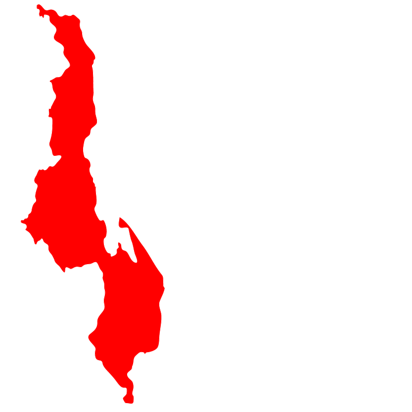
Malawi is experiencing the most severe prolonged dry spells and fall army worm infestation which have threatened agricultural production of 3.8 million people (Ministry of Agriculture, Irrigation and Water Development Report 2018). With little or no rain still not falling in some parts of the country and fall army worms still destroying crop fields the outlook is alarming which will result in hunger to over 3.8 million people up to next growing season (Ministry of Agriculture, Irrigation and Water Development Report 2018). Even before the prolonged dry spells, Malawi Government had declared drought a national disaster in December 2017 because of fall army worms.
Twenty out 28 districts that include Phalombe, Mulanje, Chikwawa, Nsanje, Mangochi, Chiradzulu, Balaka, Neno, Salima, Dowa, Lilongwe with approximately 270,000 hectares under crops were affected by fall army worms and 215,000 hectares affected by dry spells. In addition, low lying areas of southern and central areas of Malawi, cereal crops like maize (Malawi’s staple food) have dried up permanently affecting 850,000 households. According to estimates of survey done in 2017/18, this situation is likely to compromise crop production and household food security this 2017/18 growing season if no greater efforts to mitigate and recover are taken.
The ACT Malawi forum is planning on submitting a funding proposal to provide Food assistance, Agricultural inputs and Capacity building to ensure that the drought affected persons’ basic needs are met with regards to food security, nutrition and Livelihoods.
Alerts_ Drought Emergency in Malawi
Burundi: Influx of DRC Refugees

In the evening of Wednesday the 24 January 2018, refugees fleeing fighting in South Kivu started streaming in Makamba and Rumonge Provinces aboard boats. Since August 2017, the security and humanitarian situation has significantly deteriorated in South Kivu, more specifically on the axis Sebele ‐Kikonde‐Kazimia, the southern coast of Kazimia (Yungu, Talama) and the coastal communities of Ubwari in the Fizi area. On-going clashes between the army FARDC (Democratic Republic of Congo Armed Forces) and the Mai Mai Yakutumba rebel armed group -claiming itself from the National People’s Coalition for the Sovereignty of Congo (CNSPC) – are behind this deterioration of the situation since January. The UN Refugee Agency (UNHCR), is alarmed by a recent surge in violence in the eastern Democratic Republic of the Congo (DRC), which is driving large numbers of Congolese to flee eastwards to neighbouring Burundi, Tanzania and Uganda.
Thousands of children, women and men have abandoned their homes, in the midst of intensified military operations against Mai Mai armed groups in South Kivu province. Since last week almost 7,000 people have crossed to neighbouring Burundi and an additional 1,200 to Tanzania. It is believed that many more are displaced inside South Kivu in difficult conditions without shelter or food.Refugees we have spoken to say they fled forced recruitment, direct violence and other abuses by armed groups. Others say they fled in anticipation of military operations and out of fear. It is imperative that people fleeing the violence are allowed safe passage, and that humanitarian access to the internally displaced is facilitated.
The ACT Burundi forum is planning on submitting a funding proposal to provide water facilities , shelter kit and Non-food items to ensure that the refugees and returnees basic needs are met with regards to ensure the new arrivals live dignified lives and within the humanitarian standards.
Alerts_ Influx of DRC Refugees in Burundi
Philippines: Volcanic Eruption
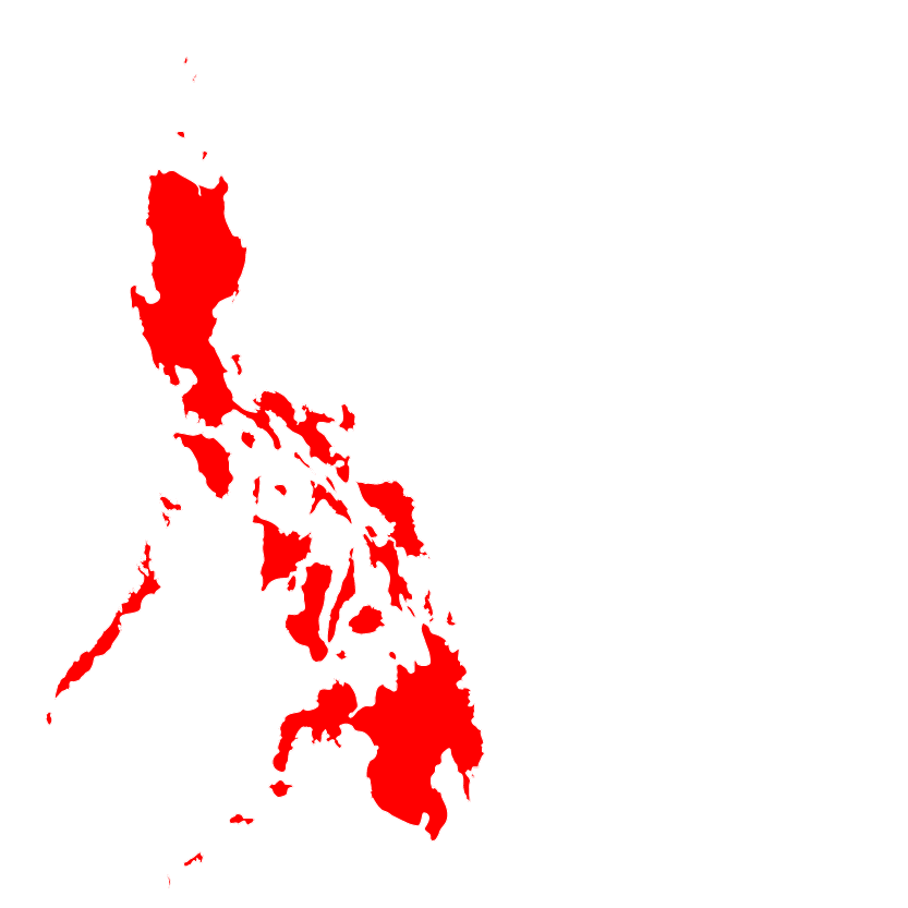
In the afternoon of Monday the 22 January 2018, the province of Albay in Region V where the Mayon Volcano is situated in the Philippines, was advised to stay vigilant as the alert level was raised to 4 (hazardous eruption imminent), on a five-step alert system, coming from a 10-day increasing unrest. The alert level-3 has been in effect since January 14 after the active volcano exhibits relatively high unrest after the phreatic eruption ejected ash and sulphur fumes accompanied by rumbling sounds. As of January 24, five episodes of intense but sporadic lava fountaining from the summit crater occurred. Frequent phreatomagmatic eruptions, energetic lava effusions, lava-collapse feeding pyroclastic density currents (PDCs), and hundreds of volcanic earthquakes and tremor events were recorded by Mayon’s seismic monitoring network which has affected over 22,000 households / 89,000 individuals in 59 barangays (villages), of which 18,291 households / 69,425 persons are currently being served inside 74 designated evacuation centers (ECs) as of January 30 report.
The ACT forum is now planning on submitting a funding proposal to provide food packs, hygiene kits and NFIs, to ensure that the affected persons’ basic needs are met with regards to EFSL, WASH, NFIs. ACT Alliance is ready to respond, providing immediate needs such as food packs, hygiene kits and NFIs to around 3,000 affected households in the coming months. Furthermore, ACT Alliance will engage in advocacy on the national and international level to ensure that the voices the affected communities are amplified.
Alerts_01_2018_Bicol Region,_Philippines
Uganda: Influx of DRC Refugees
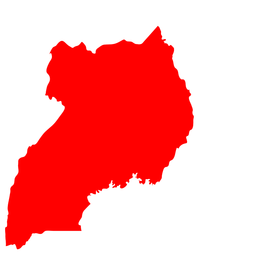
In the evening of Monday the 18 December 2017, the district of Kanungu, Kisoro and Bundibugyo in Western Uganda, were highly congested with Congolese refugees from the Democratic Republic of Congo fleeing violence. That week was characterised by two major developments: the unexpected surge of arrivals to Kyangwalli Settlement through the Lake Albert route and the arrival of Congolese refugees to Kyaka II settlement. Rwamwanja settlement which used to receive Congolese refugees entering through South west Uganda has since reached its full capacity. 11,435 Congolese new arrivals have been received in Uganda since 1st December 2017. The largest majority entered through Nteko and Bunagana border points in Kisoro with smaller numbers crossing through Ishasha, Kyeshero and Butogta border points in Kanungu, Mpondwe in Kasese and Lake Albert in Bulisa district. The new arrivals through Kisoro, Kanungu and Kasese are taken to KyakaII while those entering trough Lake Albert are taken to Kyangwli settlement.
Since children constitute the majority, temporary schools need to be urgently established for the provision of safe child spaces, early childhood development and primary education before school resumes in February. In Kyaka II and Kyangwali’s extension site of Malembo settlements, refugees lacked adequate sanitation facilities such as communal latrines for the new arrivals. 232 persons with special needs (PSNs) including 114 un-accompanied minors and separated children (UASC) have been identified, and also people with disabilities (PWD), survivors of SGBV as experienced in Congo and on transit to the country of refuge, and other vulnerabilities, need to be identified and addressed. The new entry points lack adequate shelter for persons with special needs more vulnerabilities.
The ACT Uganda forum through LWF and Finn Church Aid(FCA) is planning on submitting a funding proposal to provide water facilities, shelter kit and Non-food items to ensure that the conflict affected persons’ basic needs are met with regards to ensuring the new arrivals’ dignified lives and within the humanitarian standards.
Alerts_ Influx of DRC Refugees_ Uganda
In the afternoon of Friday the 5 January 2018, the region of Atsinanana in Madagascar, was affected by the tropical cyclone Ava with a maximum wind speed of 150 kph alternated by gusts of 205 km/h in a radius of 37 km around its center. The tropical storm hit the Island country off South-eastern on Friday and Saturday killing at least 29 people nationwide and forcing more than 17,000 from their homes. According to the Statement from the National Bureau for Risk and Catastrophe Management or BNGRC, 22 people are still missing. Overall, Ava affected more than 83,000 people. The cyclone struck the Eastern part of Madagascar the hardest. There, towns flooded and buildings collapsed, crops were destroyed, roads were damaged and communications were knocked down. Heavy rains are expected and spread in Regions Atsinanana, Analanjirofo, Alaotra Mangoro and Vatovavy Fitovinany.
In March 2017, tropical cyclone Enawo slammed into the northeast of the country, killing at least 80 people displacing almost a quarter of a million. Enawo was the strongest cyclone to hit Madagascar in 13 years with winds of 230kph, the equivalent of a category 4 hurricane. In collaboration with relevant stakeholders, the ACT forum in Madagascar has identified a gap in safe shelter, food, non-food items, wash kits and protection and has resolved that if funded, it will have the capacity to properly bridge the identified gap. The ACT forum is planning on submitting a funding proposal to provide food, non-food items and wash kits to ensure that the cyclone affected persons’ basic needs are met with regards to wash, health and livelihoods.
Alerts_Madagascar_ Ava Cyclone Emergency
Syria: Humanitarian Crisis
It has been seven years and the conflict in Syria continues — devastating, displacing, and destroying lives and forcing millions to flee from their homes. Despite the generous response and support that has been provided by host countries, international and national NGO’S, faith-based organizations, and many others, most Syrian displaced and refugee families remain vulnerable. Refugees and displaced Syrian families live below the poverty line, struggle to meet basic needs, have limited access to legal/social protection and income- generating opportunities. This not only impacts their basic survival but also their ability to cope, to heal and re-build their lives with dignity. Ongoing violence in many parts of Syria continues to lead to large-scale displacement. While no large influxes of Syrian refugees across borders have been witnessed, an additional 570,000 Syrian refugees across the region have been registered in 2017 increasing the number of registered refugees from 4.8 million to 5.3 million (3RP- Regional Overview 2018-2019). The critical response for the refugee situation continues to fall primarily on the neighbouring countries in the region- mainly- Lebanon, Jordan and Turkey–that host the largest numbers of registered refugees per capita in the world. In Lebanon, one in five people is a refugee, while one in 15 is a refugee in Jordan, further exacerbating the already vulnerable and fragile context of the host community population. In Syria, economic contraction has left the population bereft and destitute. The destruction and disrepair of key social and civilian infrastructure marks the unravelling of essential public services, negatively impacting every aspect of daily life. The ability of the Syrian people to cope with the effects of the conflict is nearly exhausted. A multifaceted range of interventions, from emergency aid to humanitarian aid to longer-term assistance is still needed for those affected by the humanitarian crisis. Nearly half of those affected by the crisis are children and adolescents who are deprived of basic needs such as protection and education. The Internal Displaced Persons (IDPs) and Syrian refugee populations are in critical need of access to the most essential basic services and to an income that allows them to meet their basic needs. It is essential that the response continues to offer humanitarian assistance to ensure IDPs in Syria and refugees in Jordan and Lebanon to receive the support that they desperately need.
Call-4-Action SYRIA JSL_18 12 2017_issued
As part of the revision of the ACT Alliance Humanitarian Response Mechanism, a “Call for Action” is essentially the same as an “Alert”, but it applies to Complex emergencies only (category 3 in the ACT Revised Humanitarian Mechanism). For further information on the Revised Humanitarian Response Mechanism, please refer to its online toolkit: https://actlearn.org/course/view.php?id=236